 seedlookout
JAVA 26.3 · VERIFIED IN GAME
Taiga village on a forested coast with a swamp patch
Spruce village roofs peek through a wooded coast, where paths cross green ground beside a small patch of swamp terrain.
 Village
 Swamp hut
 Trail ruins
 Shipwreck
 Taiga
Taiga Coast
Coast Swamp
Swamp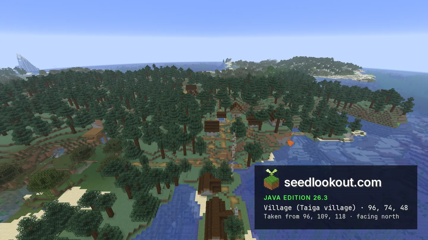
About this world
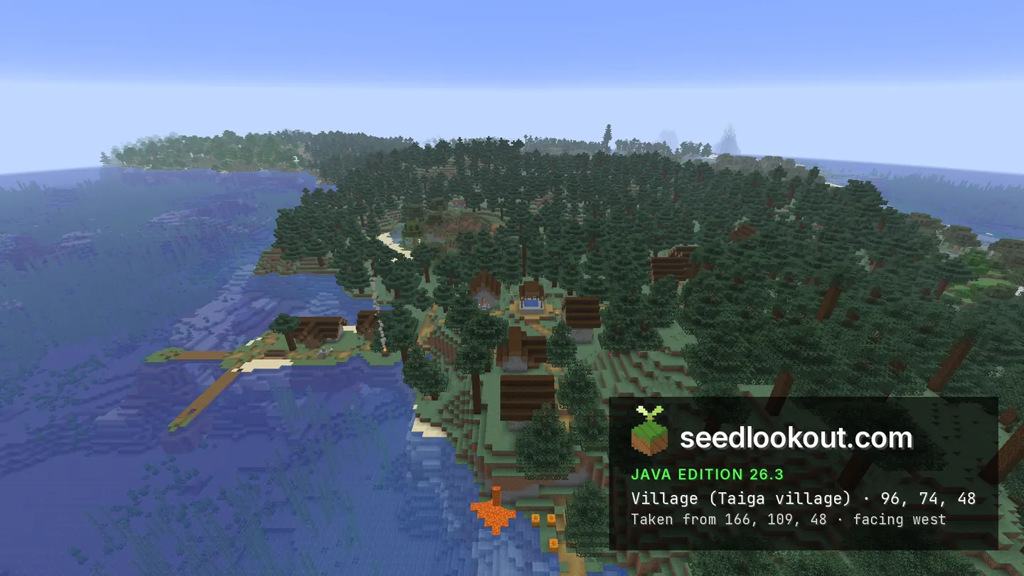
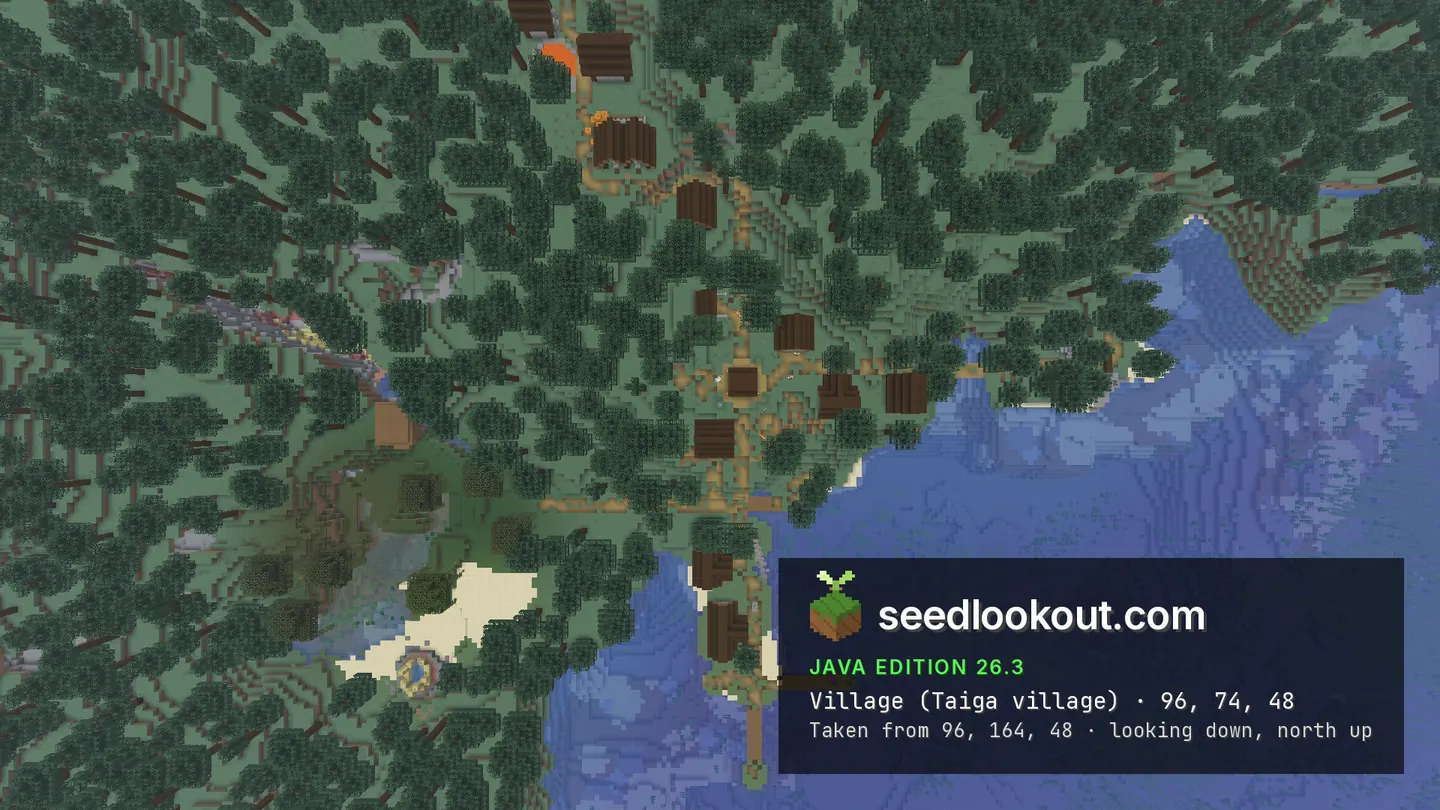
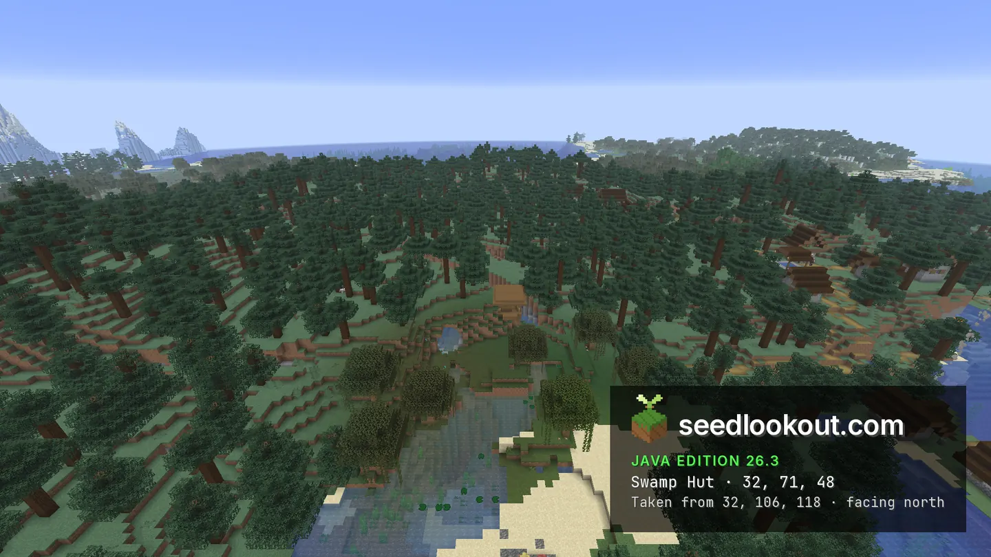
The taiga village at 96, 74, 48 follows a forested coastline. Spruce roofs and paths appear between the trees, and the overhead view traces the settlement's spread across the wooded ground. The south view includes the low wet terrain near a swamp hut at 32, 71, 48, although the hut itself is obscured by the canopy.
Trail ruins were confirmed beneath the surface point at 160, 73, 48, within a structure spanning y 44–63. The inspection point is 161, 48, 47, but the photographs show the ground above the buried ruin. A shipwreck was also confirmed offshore near the surface anchor at 32, 63, 224, below water at y 52–60. Its hull is not clearly pictured in this gallery.
Coordinates
Each structure was found at or near these coordinates in Java 26.3.
| Location | X | Y | Z | Teleport |
|---|---|---|---|---|
| Coastal taiga villageSpruce roofs and paths spread through trees along the coast. The generated taiga village spans y 60–80.Taiga village found at these coordinates | 96 | 74 | 48 | |
| Swamp hut areaA hut confirmed within y 66–72 beside the village's wet ground. The selected view shows the surroundings; canopy obscures the hut.Swamp hut found at these coordinates | 32 | 71 | 48 | |
| Buried trail ruinsBuried ruins spanning y 44–63, with an inspection point at 161, 48, 47. The gallery shows the surface above the structure.Trail ruins found at these coordinates | 160 | 48 | 48 | |
| Submerged shipwreckA surface anchor above a wreck at y 52–60 around z 235–243. The offshore hull is not clearly pictured in the selected photographs.Shipwreck found 11 blocks away | 32 | 63 | 224 |
Screenshots
Select a screenshot to open it at full size.
How to get there
- In Java Edition 26.3, choose Create New World, open the World tab and enter seed 258363691136428975.
- Set Game Mode to Creative or turn Allow Cheats on, and press F3 to show your coordinates.
- Run /tp @s 96 109 48 to view the village roofs and wooded coast. The swamp hut area is west of it near 32, 71, 48, under tree cover.
- To inspect the trail ruins, run /gamemode spectator, then /tp @s 161 48 47. The ruin extends through solid ground between y 44 and 63; no surface entrance was checked.
- For the offshore wreck, remain in Spectator mode and move towards 32, 56, 239. The listed 32, 63, 224 point is a surface anchor, not the hull's floor.
Questions
Are the village houses visible through the trees?
The south, east and overhead views show spruce roofs and village paths among the trees. The overhead image is useful for understanding the spread of the settlement.
Is there a clear photograph of the swamp hut?
The hut was confirmed near 32, 71, 48, but tree cover obscures it in the reviewed views. The selected photograph shows the surrounding wet ground and canopy.
Are the trail ruins and wreck exposed?
The trail ruins are buried at y 44–63 and are not exposed in the gallery. The wreck is submerged at y 52–60 offshore, and its hull is not clearly pictured.
Which Minecraft edition and version were checked?
This seed was checked in Java Edition 26.3. Other Java releases and Bedrock have not been checked.
Verified in game
Verified in game in Minecraft Java 26.3 on 2026-09-30. We checked the listed locations and reviewed the in-game screenshots before publication. Verification covers the listed structures in that version only, not the world spawn, chest loot or other versions. About verified seeds
Spawn and nearest structures
Predicted with the seed map’s Java 26.3 model and not checked in game. Distances are measured from the estimated spawn.
- Estimated spawn
- X 0, Z 0
- Surface height
- About Y 71
- Spawn biome
- Taiga
Nearest structures
| Structure | X | Z | From spawn |
|---|---|---|---|
| Witch hut | 32 | 48 | 58 blocks |
| VillageTaiga village | 96 | 48 | 107 blocks |
| Trail ruins | 160 | 48 | 167 blocks |
| Ocean ruin | 16 | 176 | 177 blocks |
| Shipwreck | 32 | 224 | 226 blocks |
| Abandoned camp | -160 | 240 | 288 blocks |
| Trial chambers | 320 | 64 | 326 blocks |
| Ruined portal | -368 | 48 | 371 blocks |
| Ocean monument | -240 | -352 | 426 blocks |
| Buried treasure | -695 | 185 | 719 blocks |
| Jungle temple | 688 | 1104 | 1,301 blocks |
| Igloo | -1504 | 608 | 1,622 blocks |
| Ancient city | 1584 | 592 | 1,691 blocks |
| Desert pyramid | 2192 | -320 | 2,215 blocks |
| Pillager outpost | -1840 | 1552 | 2,407 blocks |
No woodland mansion within 4,096 blocks of spawn.
Nearest strongholds
| Stronghold | X | Z | From spawn |
|---|---|---|---|
| Ring 1 | -940 | 1156 | 1,490 blocks |
| Ring 1 | -460 | -1772 | 1,831 blocks |
| Ring 1 | 2100 | 436 | 2,145 blocks |
Surface biomes within 1,024 blocks
- Ocean 24%
- Frozen Ocean 14%
- Cold Ocean 12%
- Swamp 9%
- Taiga 9%
- Forest 7%
Biome map
The seed map shows this world’s biomes and predicted structures with its Java 26.3 model. Its markers are predictions, like the spawn facts. Only the Coordinates table was checked in game.
Open the Java 26.3 seed mapMore seeds
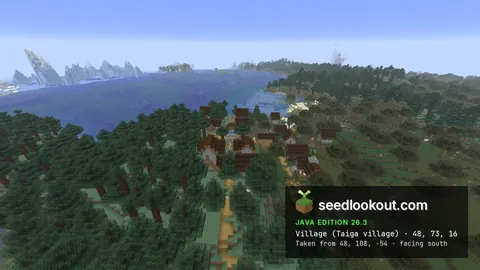
Taiga village and white camp tent at the swamp coast
Village Abandoned campSwamp hutShipwreckTaigaSwampCoast
206679379470771640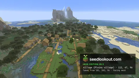
Village and swamp hut below coastal stone spires
VillageSwamp hut Trial chambersShipwreckSwampCoast
 Mountains
376597192266466193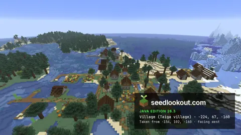
Coastal taiga village with a lush cave shelf below
VillageTrail ruinsShipwreck CavesTaigaCoast
 Snow
Snow409887994598042