 seedlookout
JAVA 26.3 · VERIFIED IN GAME
Taiga village and white camp tent at the swamp coast
Wooden village roofs and a white tent sit between spruce forest, swamp trees and the coast, with pale ice visible farther out to sea.
 Village
 Abandoned camp
 Swamp hut
 Shipwreck
 Taiga
Taiga Swamp
Swamp Coast
Coast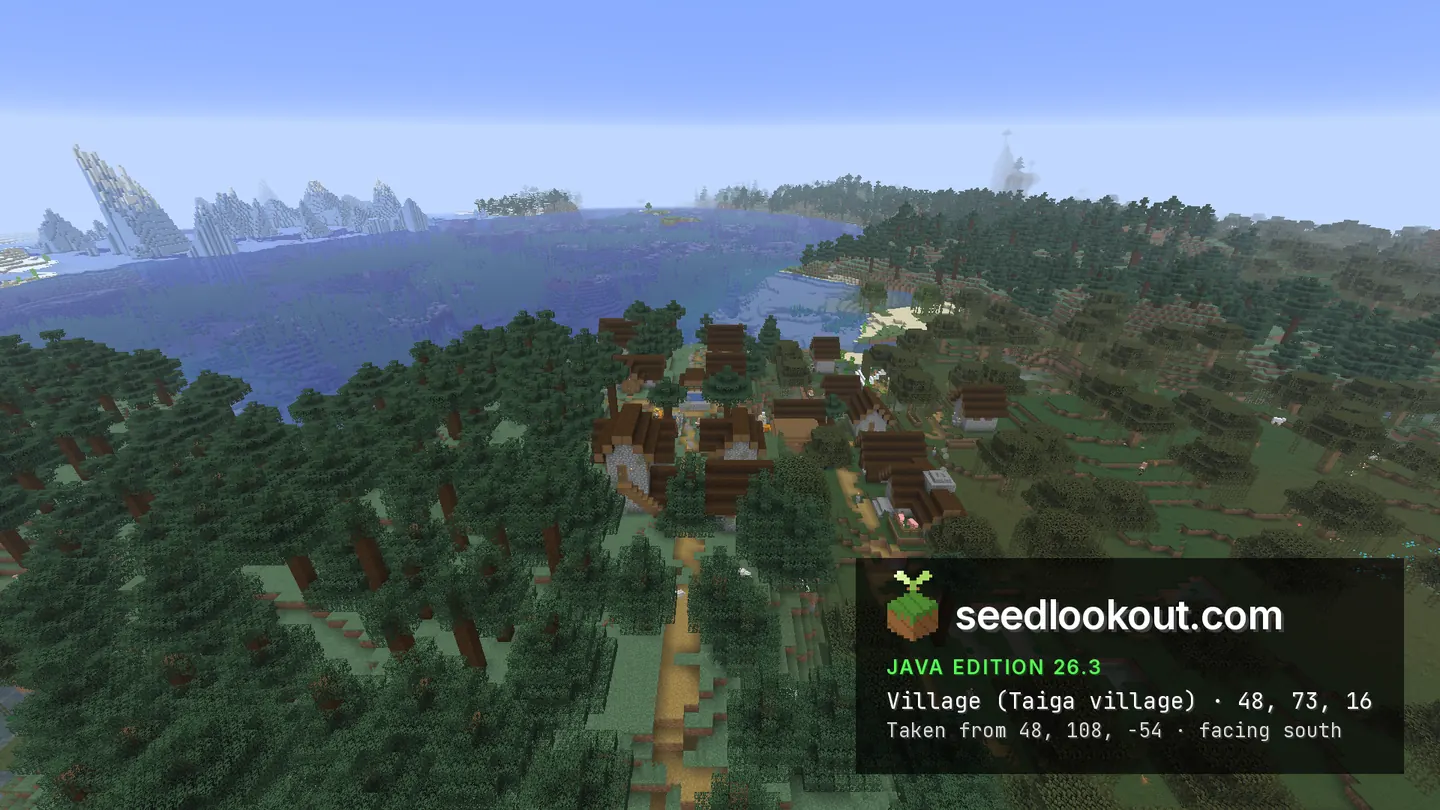
About this world
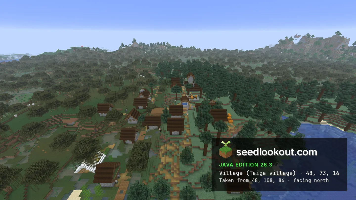
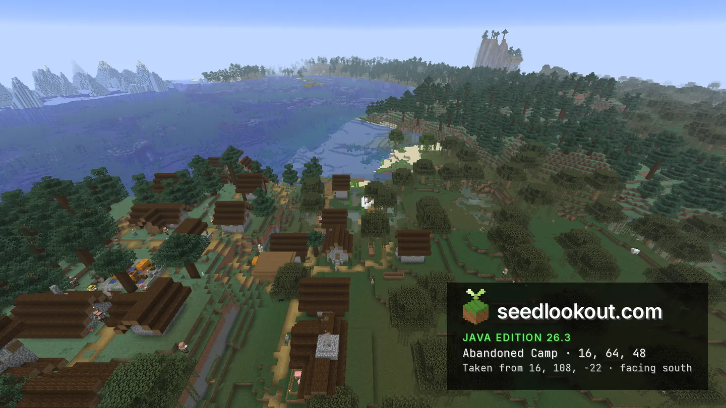
The taiga village at 48, 73, 16 follows a strip of land between spruce trees, swamp water and the coast. Houses, farms and paths appear between the canopies rather than on a broad cleared plain. A white camp tent at 16, 64, 48 is visible near the village edge, with open water and distant ice behind it.
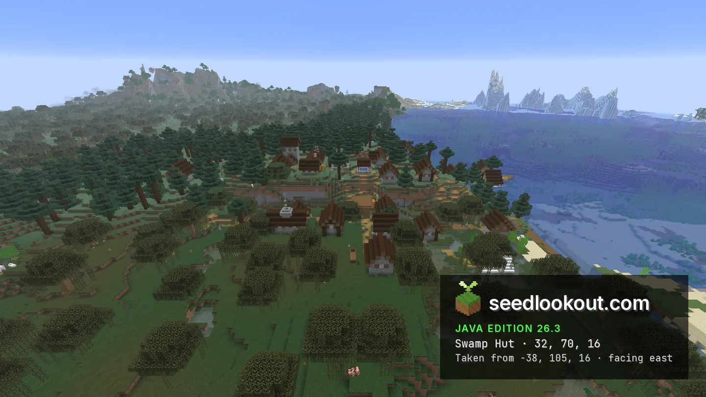
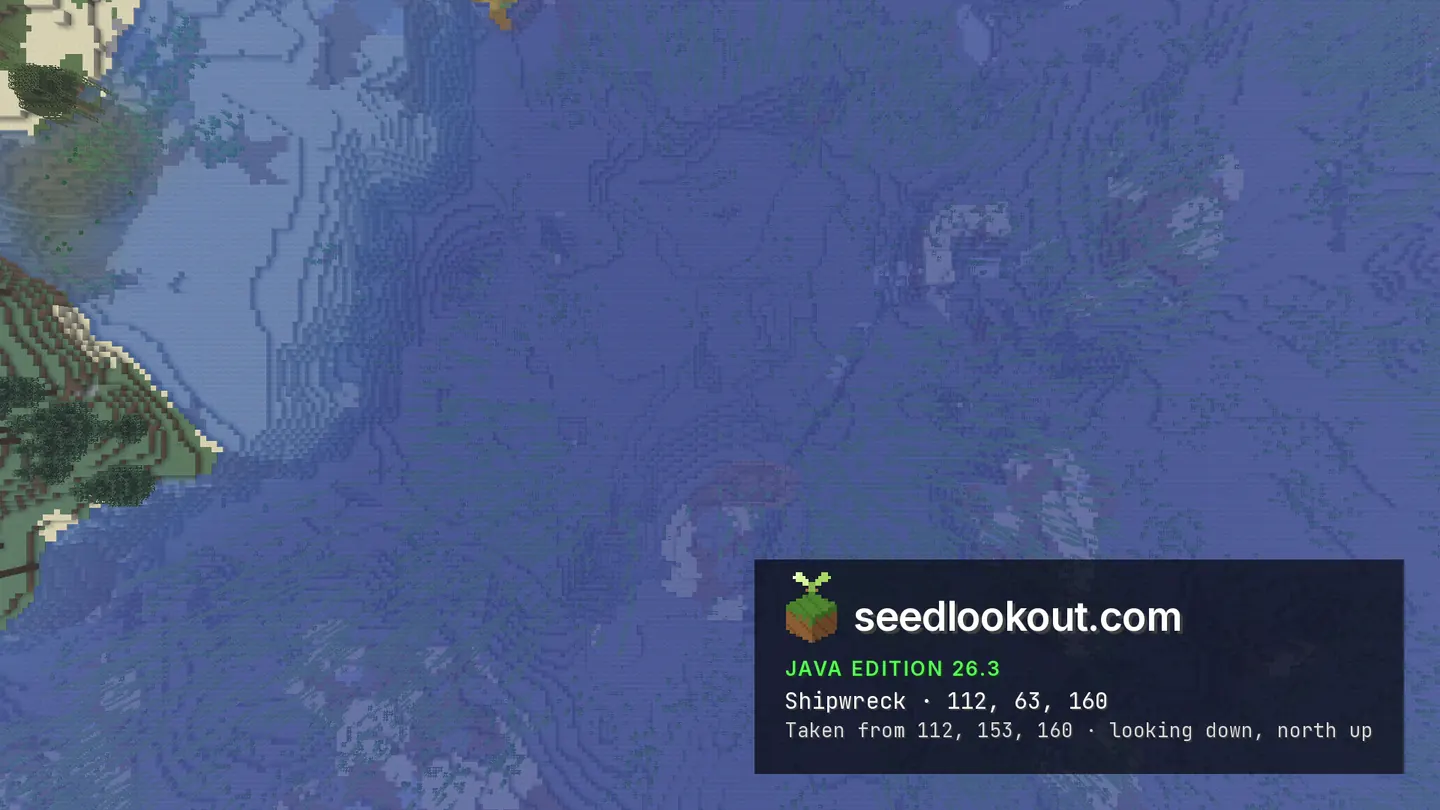
A swamp hut was confirmed at 32, 70, 16, in the same small area as the village. Its roof is difficult to separate from the village buildings in the selected view, so the hut photograph mainly records its setting. The shipwreck near 112, 63, 160 lies below the water: the overhead image shows a faint wooden form, while the generated wreck blocks extend from y 52 to 60.
Coordinates
Each structure was found at or near these coordinates in Java 26.3.
| Location | X | Y | Z | Teleport |
|---|---|---|---|---|
| Coastal taiga villageVillage houses, farms and paths thread through spruce and swamp trees beside the coast.Taiga village found at these coordinates | 48 | 73 | 16 | |
| Swamp hut near the villageConfirmed at the listed point, with generated blocks at y 64–70. The gallery does not clearly isolate the hut from the village roofs.Swamp hut found at these coordinates | 32 | 70 | 16 | |
| Shore abandoned campA visible white tent close to the village, with water and distant ice beyond the shoreline.Abandoned camp found at these coordinates | 16 | 64 | 48 | |
| Submerged shipwreckThis is a water-surface anchor. The wreck blocks lie below water at y 52–60; the overhead photograph shows only a faint hull shape.Shipwreck found 11 blocks away | 112 | 63 | 160 |
Screenshots
Select a screenshot to open it at full size.
How to get there
- In Java Edition 26.3, choose Create New World, open the World tab and enter seed 206679379470771640.
- Set Game Mode to Creative or turn Allow Cheats on, and press F3 to show your coordinates.
- Run /tp @s 48 108 -54 0 26.6 to see the coastal taiga village from the gallery viewpoint.
- For the white tent, run /tp @s 16 99 48 and look toward the village and shoreline.
- The hut anchor is 32, 70, 16, among the village buildings. For an overview of that area, fly above 32, 105, 16.
- For the wreck, fly above 112, 98, 160 and look slightly south toward z 171–179. The screenshot is an overhead water view, not an underwater inspection.
Questions
Where is the camp beside the taiga village?
The checked camp point is 16, 64, 48. Its white tent is visible near the village at 48, 73, 16, between the wooded land and the shore.
Can I distinguish the swamp hut from the village?
The server confirmed the hut at 32, 70, 16, but the selected photograph does not clearly separate it from nearby roofs and trees. Use the coordinate as an inspection point.
Is the shipwreck above water?
The checked wreck lies below the water, with generated blocks at y 52–60. Only a faint wooden shape is visible in the overhead gallery image.
Does this seed work on Bedrock or other Java versions?
We verified this world only in Java 26.3. Bedrock and other Java versions may generate different terrain and structures from the same seed.
Verified in game
Verified in game in Minecraft Java 26.3 on 2026-10-02. We checked the listed locations and reviewed the in-game screenshots before publication. Verification covers the listed structures in that version only, not the world spawn, chest loot or other versions. About verified seeds
Spawn and nearest structures
Predicted with the seed map’s Java 26.3 model and not checked in game. Distances are measured from the estimated spawn.
- Estimated spawn
- X 0, Z 0
- Surface height
- About Y 61
- Spawn biome
- Swamp
Nearest structures
| Structure | X | Z | From spawn |
|---|---|---|---|
| Witch hut | 32 | 16 | 36 blocks |
| VillageTaiga village | 48 | 16 | 51 blocks |
| Abandoned camp | 16 | 48 | 51 blocks |
| Shipwreck | 112 | 160 | 195 blocks |
| Trial chambers | 0 | -224 | 224 blocks |
| Ruined portal | 144 | 256 | 294 blocks |
| Ocean ruin | 0 | 320 | 320 blocks |
| Trail ruins | -304 | 144 | 336 blocks |
| Buried treasure | 121 | -391 | 409 blocks |
| IglooBasement | 576 | 128 | 590 blocks |
| Ocean monument | 208 | 1200 | 1,218 blocks |
| Jungle temple | -1728 | 1344 | 2,189 blocks |
| Pillager outpost | 2800 | 592 | 2,862 blocks |
| Ancient city | -1392 | -2528 | 2,886 blocks |
| Desert pyramid | 144 | -3456 | 3,459 blocks |
No woodland mansion within 4,096 blocks of spawn.
Nearest strongholds
| Stronghold | X | Z | From spawn |
|---|---|---|---|
| Ring 1 | -668 | -1388 | 1,540 blocks |
| Ring 1 | 1540 | 84 | 1,542 blocks |
| Ring 1 | -924 | 1508 | 1,769 blocks |
Surface biomes within 1,024 blocks
- Plains 12%
- Snowy Plains 10%
- Forest 10%
- Ocean 8%
- Swamp 8%
- River 8%
Biome map
The seed map shows this world’s biomes and predicted structures with its Java 26.3 model. Its markers are predictions, like the spawn facts. Only the Coordinates table was checked in game.
Open the Java 26.3 seed mapMore seeds
Taiga village on a forested coast with a swamp patch
VillageSwamp hut Trail ruinsShipwreckTaigaCoastSwamp
258363691136428975
Taiga village between snowy forest and swamp water
VillageSwamp hut Ruined portalAbandoned campTaiga
 SnowSwamp
 River
River525879814561908518
Snowy village on a swamp border, with a swamp hut and a wreck in the ice
VillageSwamp hutShipwreckAbandoned campSnowSwamp146114360905246199