 seedlookout
JAVA 26.3 · VERIFIED IN GAME
Coastal taiga village with a lush cave shelf below
Taiga houses and wooden paths occupy a sandy coastal edge, while a spectator view below ground reveals a green cave shelf beside water.
 Village
 Trail ruins
 Shipwreck
 Caves
Caves Taiga
Taiga Coast
Coast Snow
Snow
About this world
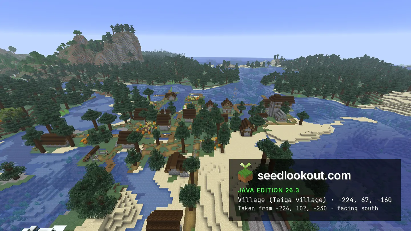
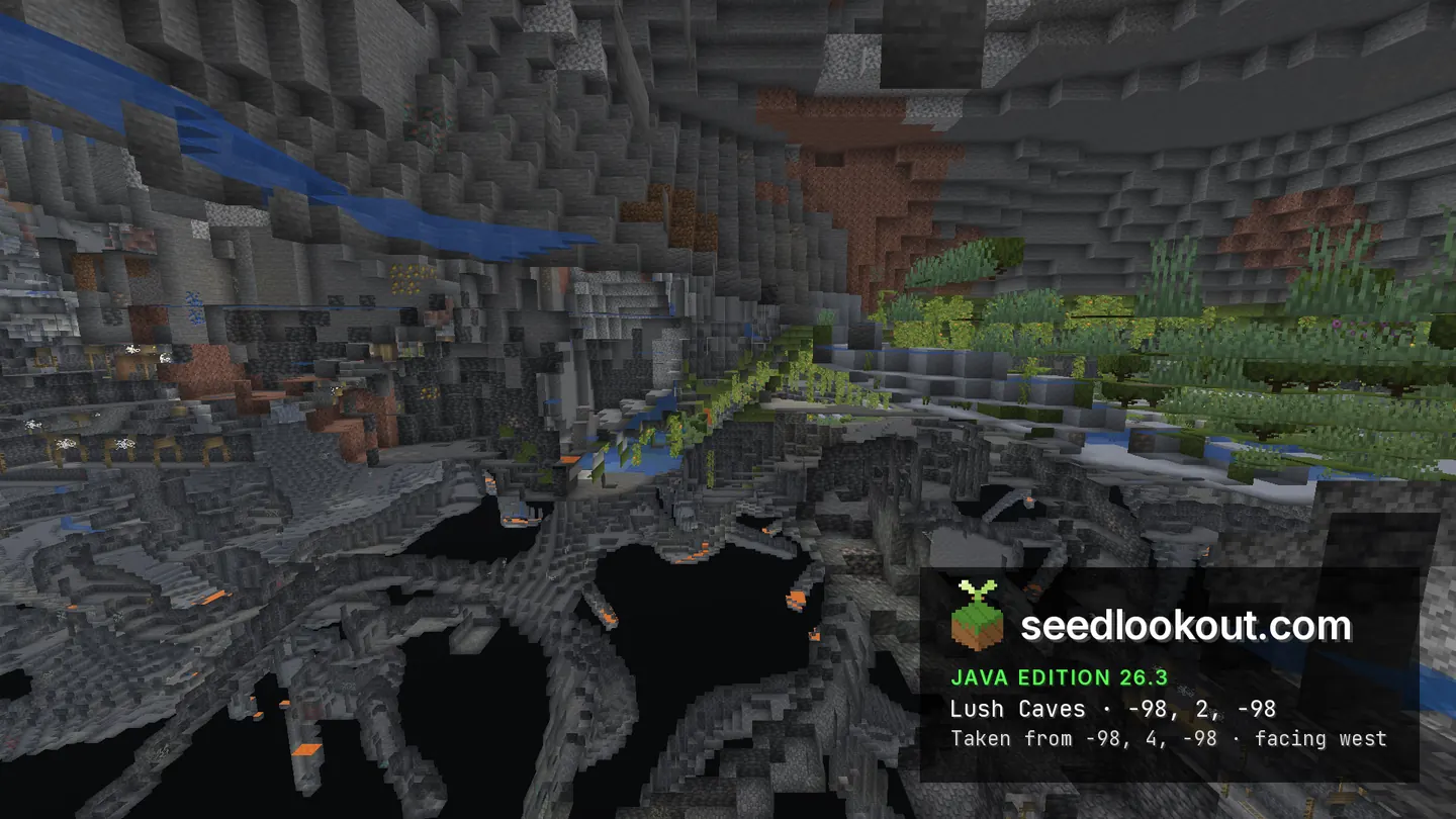
The taiga village at -224, 67, -160 follows a low coast between spruce trees, sand and blue water. Its paths reach across the uneven shoreline, and the northern and eastern views show the wooden roofs from different angles. A lush caves point was confirmed below -98, -98 and inspected at y 2; the selected image shows green vegetation, hanging growth and water on a small shelf.
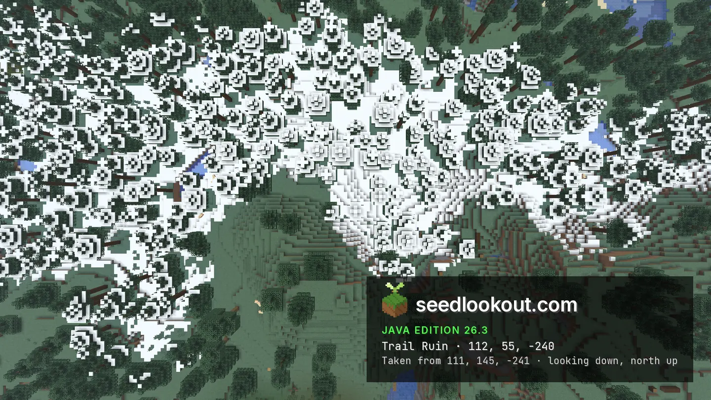
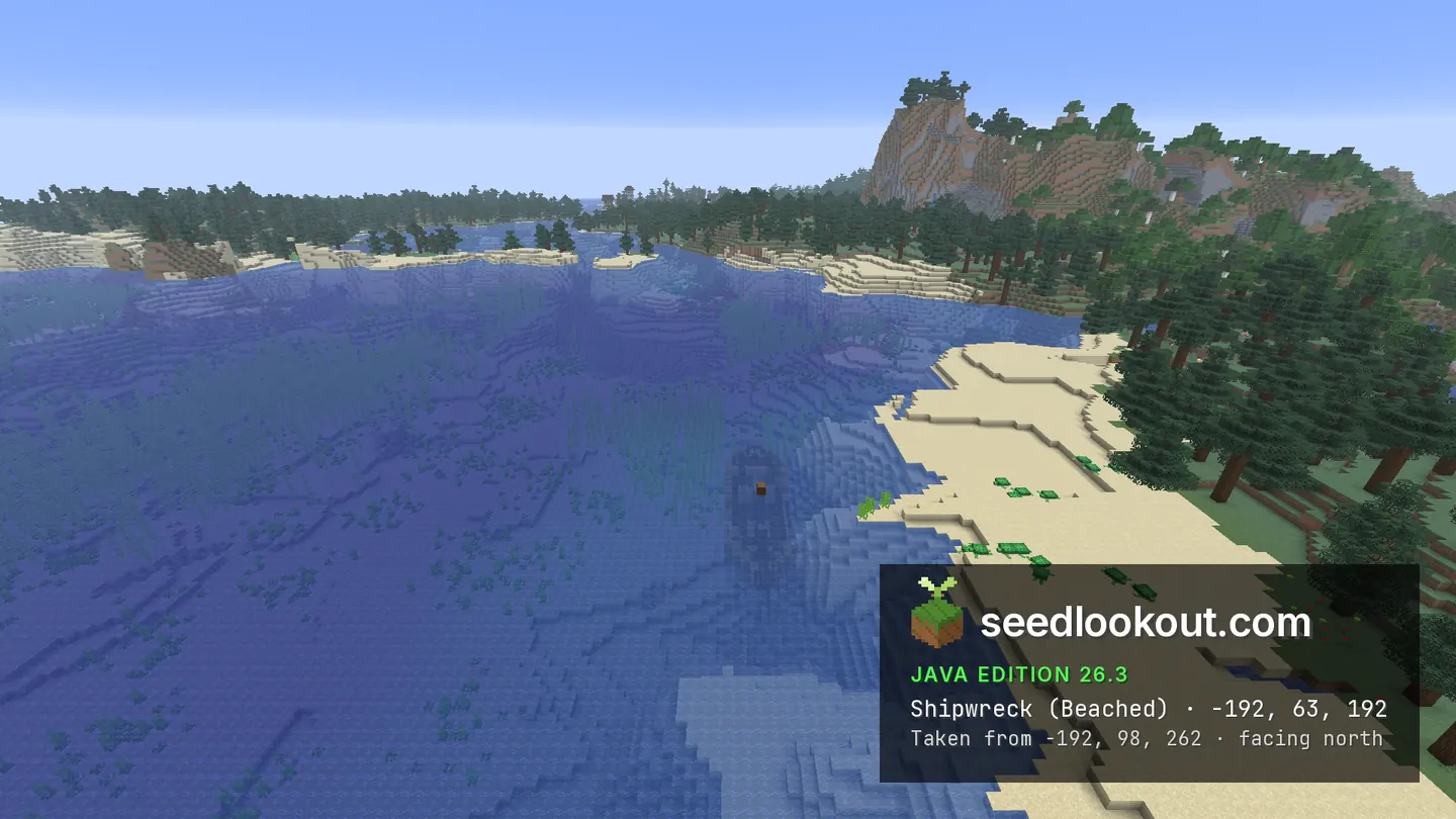
The cave photograph is a spectator cutaway with broad clipped gaps, so it does not show a continuous open cavern. Trail ruins near 112, -240 remain buried beneath snowy forest, between y 50 and 70, with an inspection point at y 55. A wreck near -192, 63, 192 was also confirmed beside the shore, but its wooden form is not clearly readable through the water in the selected photograph.
Coordinates
Each structure and biome was found at or near these coordinates in Java 26.3.
| Location | X | Y | Z | Teleport |
|---|---|---|---|---|
| Coastal taiga villageWooden houses and paths along a sandy, spruce-covered coast, with water beside the settlement.Taiga village found at these coordinates | -224 | 67 | -160 | |
| Lush cave inspection shelfLush caves biome confirmed beneath -98, -98 and inspected at y 2. The image shows a vegetated shelf and water in a clipped spectator cutaway.Lush caves biome found at these coordinates | -98 | 2 | -98 | |
| Buried trail ruinsConfirmed below snowy forest near 112, -240. The structure spans y 50–70; the inspection used y 55 and the gallery shows its surface setting.Trail ruins found at these coordinates | 112 | 55 | -240 | |
| Submerged shore wreckThe listed y 63 is a water-level anchor. Wreck blocks span y 51–71 near the shore, but the selected water view does not clearly show the hull.Beached shipwreck found 3 blocks away | -192 | 63 | 192 |
Screenshots
Select a screenshot to open it at full size.
How to get there
- In Java Edition 26.3, choose Create New World, open the World tab and enter seed 409887994598042.
- Set Game Mode to Creative or turn Allow Cheats on, and press F3 to show your coordinates.
- Run /tp @s -154 102 -160 90 26.6 to see the coastal taiga village from the gallery viewpoint.
- For the lush cave shelf, run /gamemode spectator, then /tp @s -98 2 -98. The clipped view does not establish an entrance from the coast.
- Remain in spectator mode to inspect the trail ruins at /tp @s 111 55 -241. Snowy forest covers the buried structure.
- For the water above the wreck, return to a surface flight above -192, 98, 192 and look south around z 195–222. Its hull is not clearly pictured.
Questions
Where is the village on the sandy coast?
The checked point is -224, 67, -160. Taiga houses and wooden paths follow the low shore between spruce trees, sand and water.
Is the lush cave screenshot a large open cavern?
The image shows a local green shelf and water near y 2 in a spectator cutaway. Terrain clipping leaves broad gaps, so the photograph does not establish a continuous open cavern.
Are the trail ruins and wreck clearly visible?
The trail ruins are buried under snowy forest near 112, -240. The wreck near -192, 63, 192 is confirmed, but its hull is difficult to read through the water in the gallery.
Does this seed work on Bedrock or other Java versions?
We verified this world only in Java 26.3. Bedrock and other Java versions may generate different terrain and structures from the same seed.
Verified in game
Verified in game in Minecraft Java 26.3 on 2026-10-02. We checked the listed locations and reviewed the in-game screenshots before publication. Verification covers the listed structures and biomes in that version only, not the world spawn, chest loot or other versions. About verified seeds
Spawn and nearest structures
Predicted with the seed map’s Java 26.3 model and not checked in game. Distances are measured from the estimated spawn.
- Estimated spawn
- X 0, Z 0
- Surface height
- About Y 71
- Spawn biome
- Forest
Nearest structures
| Structure | X | Z | From spawn |
|---|---|---|---|
| Buried treasure | -151 | 153 | 215 blocks |
| Trail ruins | 112 | -240 | 265 blocks |
| Shipwreck | -192 | 192 | 272 blocks |
| VillageTaiga village | -224 | -160 | 275 blocks |
| Trial chambers | 112 | 256 | 279 blocks |
| Ocean ruin | -256 | 176 | 311 blocks |
| Pillager outpost | 128 | 288 | 315 blocks |
| Ruined portal | 240 | 208 | 318 blocks |
| Abandoned camp | 656 | 288 | 716 blocks |
| Ocean monument | -720 | -304 | 782 blocks |
| Igloo | 704 | -912 | 1,152 blocks |
| Ancient city | -336 | 1232 | 1,277 blocks |
| Desert pyramid | -2400 | 704 | 2,501 blocks |
| Witch hut | -1536 | 2832 | 3,222 blocks |
| Woodland mansion | -800 | -3584 | 3,672 blocks |
| Jungle temple | -3248 | 1728 | 3,679 blocks |
Nearest strongholds
| Stronghold | X | Z | From spawn |
|---|---|---|---|
| Ring 1 | 1268 | -1244 | 1,776 blocks |
| Ring 1 | 404 | 1828 | 1,872 blocks |
| Ring 1 | -2428 | -796 | 2,555 blocks |
Surface biomes within 1,024 blocks
- Taiga 16%
- Deep Cold Ocean 16%
- Plains 15%
- Cold Ocean 9%
- Forest 9%
- Frozen Ocean 8%
Biome map
The seed map shows this world’s biomes and predicted structures with its Java 26.3 model. Its markers are predictions, like the spawn facts. Only the Coordinates table was checked in game.
Open the Java 26.3 seed mapMore seeds
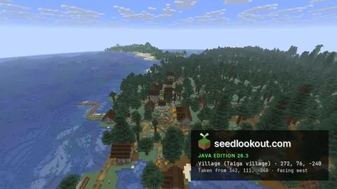
Large taiga village on a spruce coast, with lush caves and trail ruins beneath
VillageTrail ruinsShipwreckTaigaCoastCaves1100837525202368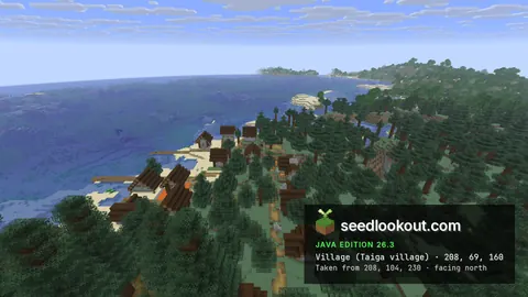
Taiga village with docks on a sandy bay, and an ocean ruined portal offshore
Village Ruined portal
 Trial chambersTaigaCoastCaves
2311978434985311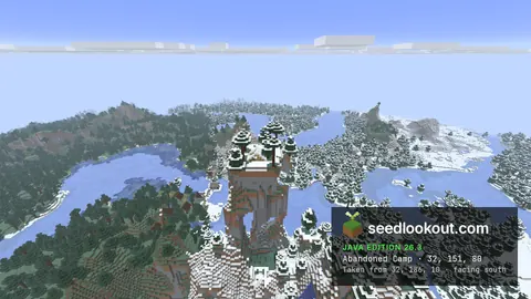
Snowy taiga camp on top of a rock pillar, above a lakeside taiga village
 Abandoned campVillageShipwreckTaigaSnowCaves
1106187978445829