 seedlookout
JAVA 26.3 · VERIFIED IN GAME
Taiga village on an icy coast with a forest outpost
Dark wooden village roofs line a spruce-covered coast facing blue water and distant ice, while an outpost tower rises above the inland trees.
 Village
 Pillager outpost
 Trail ruins
 Abandoned camp
 Taiga
Taiga Coast
Coast Snow
Snow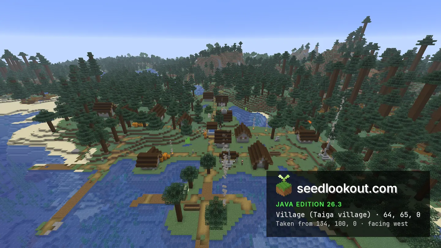
About this world
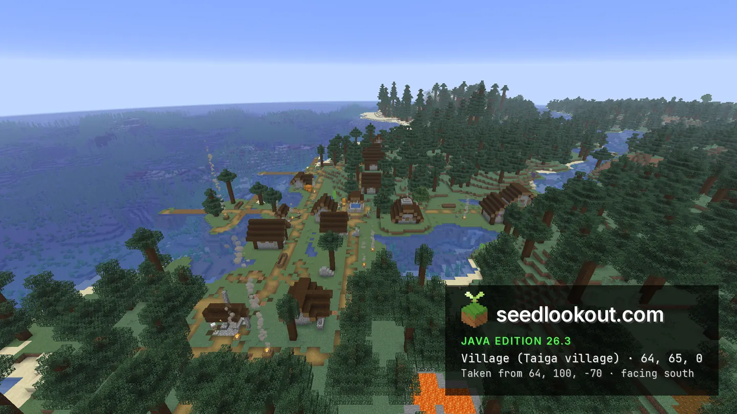
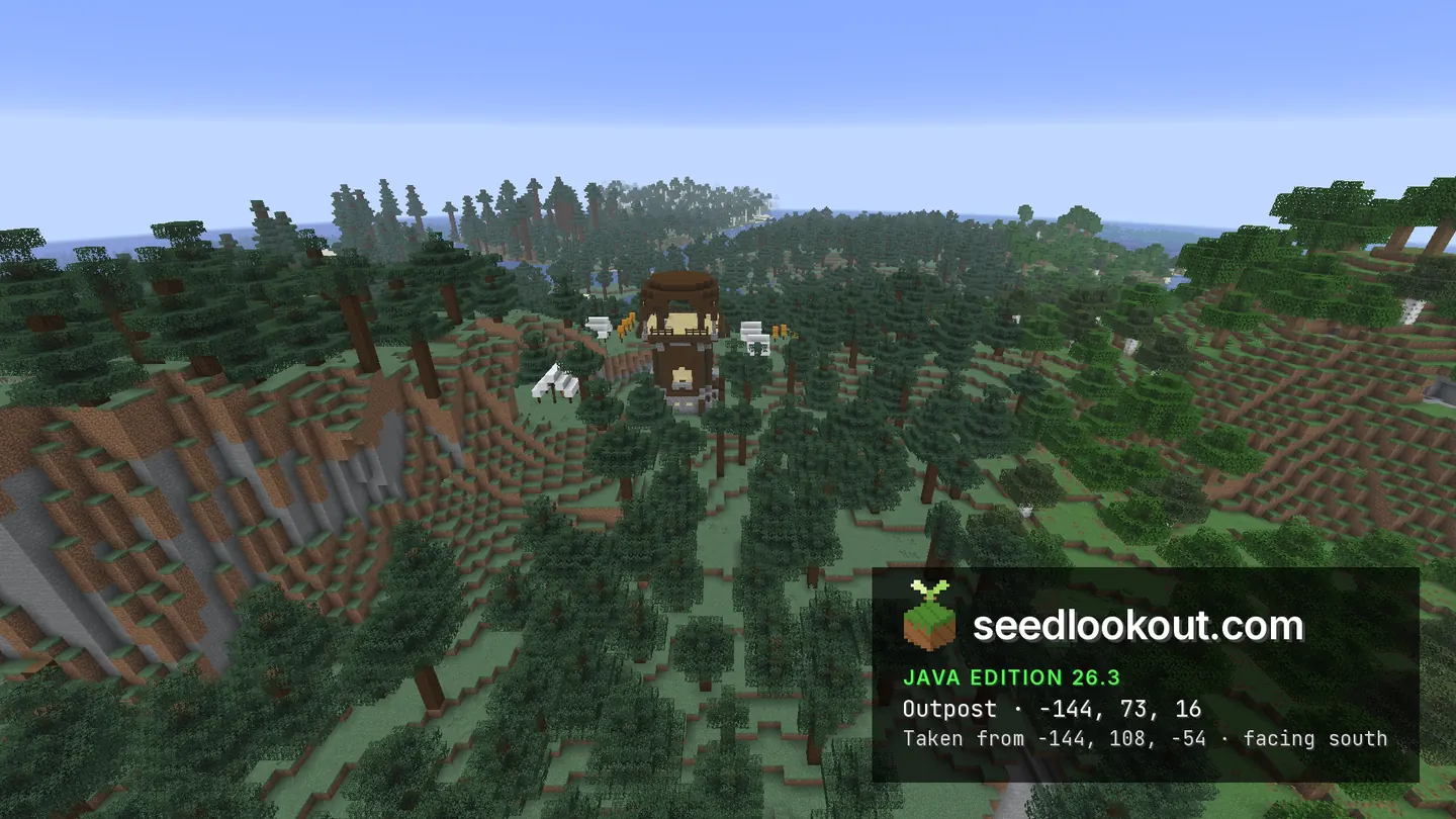
The taiga village at 64, 65, 0 stands on a low wooded coast, with its houses and paths close to the sand and water. The eastern view looks back across the village toward spruce trees; the northern view shows the village beside open sea. The camp overhead shows the frozen coast and icebergs. West of the village, the pillager outpost at -144, 73, 16 rises above the forest, with smaller structures and white tents around its base.
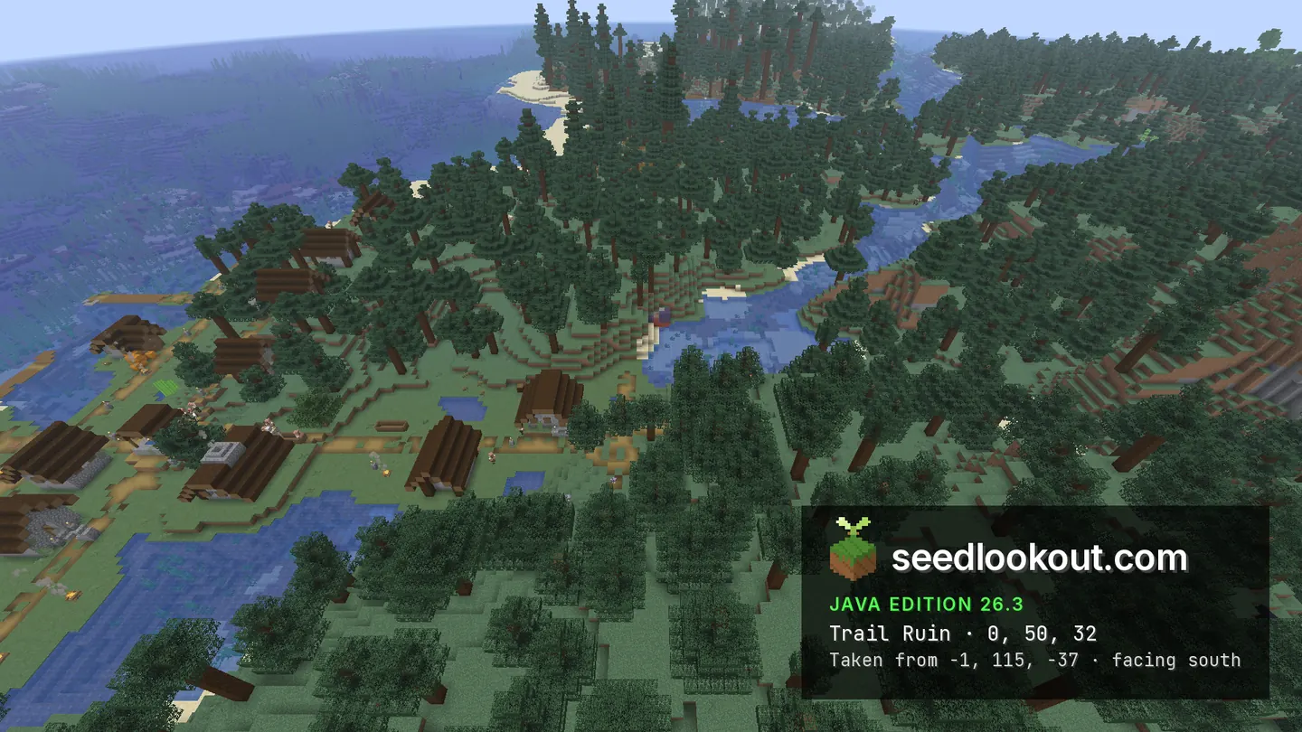
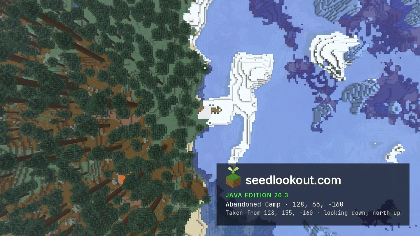
Those outpost tents are separate from the checked abandoned camp at 128, 65, -160, whose overhead view is largely covered by tree canopy. Trail ruins were confirmed below 0, 32, spanning y 44–65, and inspected at y 50. The selected trail-ruin photograph shows the forest and water above the buried blocks rather than an excavated archaeological site.
Coordinates
Each structure was found at or near these coordinates in Java 26.3.
| Location | X | Y | Z | Teleport |
|---|---|---|---|---|
| Taiga village on the coastWooden houses and paths along a spruce-covered coast, with ice visible across the open water.Taiga village found at these coordinates | 64 | 65 | 0 | |
| Forest pillager outpostA tower clearly visible above the trees, with smaller outpost structures and tents around its grounds.Pillager outpost found at these coordinates | -144 | 73 | 16 | |
| Buried trail ruinsConfirmed below 0, 32, at y 44–65 and inspected at y 50. The gallery mainly shows forest above the buried structure.Trail ruins found at these coordinates | 0 | 50 | 32 | |
| Canopy-covered abandoned campA separate camp confirmed northeast of the village. The tent lies beneath tree cover and is difficult to see in the overhead view.Abandoned camp found at these coordinates | 128 | 65 | -160 |
Screenshots
Select a screenshot to open it at full size.
How to get there
- In Java Edition 26.3, choose Create New World, open the World tab and enter seed 167264166161780.
- Set Game Mode to Creative or turn Allow Cheats on, and press F3 to show your coordinates.
- Run /tp @s 134 100 0 90 26.6 to see the taiga village on the coast from the gallery viewpoint.
- For the outpost tower, run /tp @s -144 108 16. Its surrounding tents belong to the outpost site.
- The separate camp is at 128, 65, -160. Fly above 128, 100, -160 and look below the trees.
- To inspect the trail ruins beneath the forest, run /gamemode spectator, then /tp @s -1 50 33. The selected photograph records the surface setting.
Questions
Where is the village on the icy coast?
The checked village point is 64, 65, 0. The village sits beside coastal sand and water, while the camp overhead shows the nearby frozen coast and icebergs.
Are the white tents at the outpost the abandoned camp?
No. The outpost is at -144, 73, 16, while the separate confirmed abandoned camp is at 128, 65, -160. The camp is largely hidden by canopy in its overhead image.
Are the trail ruins exposed?
The checked structure is mostly buried at y 44–65 near 0, 32. The gallery shows trees and waterways above it; the underground inspection used y 50.
Does this seed work on Bedrock or other Java versions?
We verified this world only in Java 26.3. Bedrock and other Java versions may generate different terrain and structures from the same seed.
Verified in game
Verified in game in Minecraft Java 26.3 on 2026-10-02. We checked the listed locations and reviewed the in-game screenshots before publication. Verification covers the listed structures in that version only, not the world spawn, chest loot or other versions. About verified seeds
Spawn and nearest structures
Predicted with the seed map’s Java 26.3 model and not checked in game. Distances are measured from the estimated spawn.
- Estimated spawn
- X -48, Z -16
- Surface height
- About Y 67
- Spawn biome
- Taiga
Nearest structures
| Structure | X | Z | From spawn |
|---|---|---|---|
| Trail ruins | 0 | 32 | 68 blocks |
| Pillager outpost | -144 | 16 | 101 blocks |
| VillageTaiga village | 64 | 0 | 113 blocks |
| Abandoned camp | 128 | -160 | 227 blocks |
| Ocean ruin | 144 | 128 | 240 blocks |
| Buried treasure | 249 | -135 | 320 blocks |
| Ruined portal | 112 | 288 | 344 blocks |
| Trial chambers | -400 | 96 | 369 blocks |
| Shipwreck | 304 | 160 | 394 blocks |
| Igloo | 1376 | 16 | 1,424 blocks |
| Ocean monument | 1200 | 912 | 1,555 blocks |
| Ancient city | 960 | -2528 | 2,707 blocks |
| Woodland mansion | 480 | 3024 | 3,086 blocks |
| Desert pyramid | -3056 | -1536 | 3,370 blocks |
| Jungle temple | -2256 | -2880 | 3,616 blocks |
No witch hut within 4,096 blocks of spawn.
Nearest strongholds
| Stronghold | X | Z | From spawn |
|---|---|---|---|
| Ring 1 | 1716 | 1028 | 2,050 blocks |
| Ring 1 | 4 | -2236 | 2,221 blocks |
| Ring 1 | -2028 | 1300 | 2,377 blocks |
Surface biomes within 1,024 blocks
- Forest 20%
- Ocean 16%
- Frozen Ocean 13%
- Taiga 7%
- Cold Ocean 7%
- Plains 4%
Biome map
The seed map shows this world’s biomes and predicted structures with its Java 26.3 model. Its markers are predictions, like the spawn facts. Only the Coordinates table was checked in game.
Open the Java 26.3 seed mapMore seeds
Coastal taiga village with a lush cave shelf below
VillageTrail ruins Shipwreck
 CavesTaigaCoastSnow
409887994598042
Taiga coast village and outpost beside a snowy hillside
VillagePillager outpostShipwreck IglooTaigaCoastSnow
272987006062197
Village above a stone hollow with an outpost in a cleft
VillagePillager outpostIglooAbandoned camp Plains
 Dappled forestCoast
168486502954112