 seedlookout
JAVA 26.3 · VERIFIED IN GAME
Lake village below dappled forest with a shore camp
Wooden village paths cross shallow water below red and orange forest, with a small white tent on the opposite shore.
 Village
 Abandoned camp
 Dappled forest
 Sulfur caves
 Snow
Snow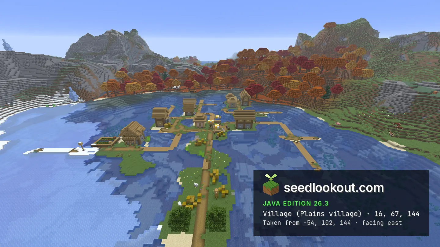
About this world
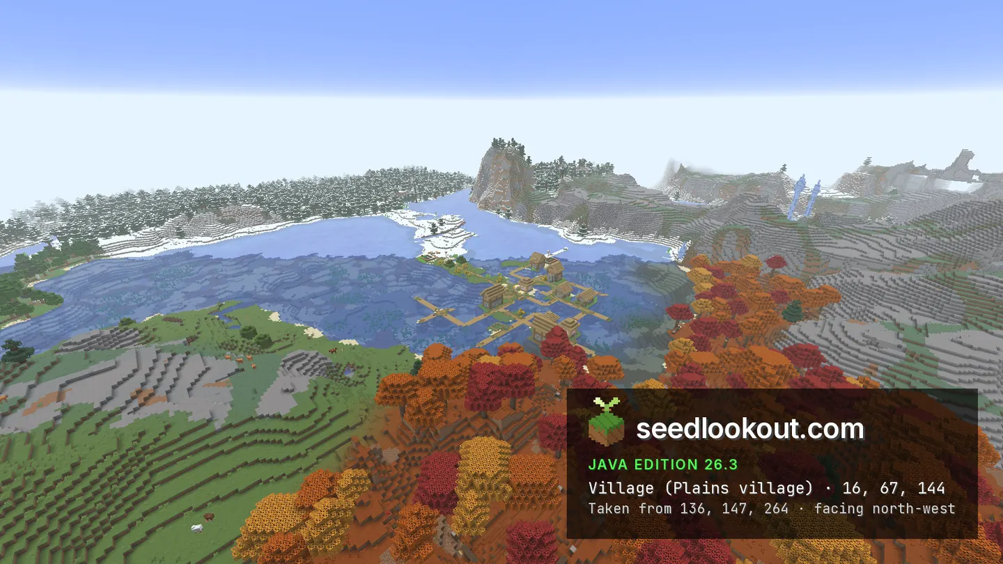
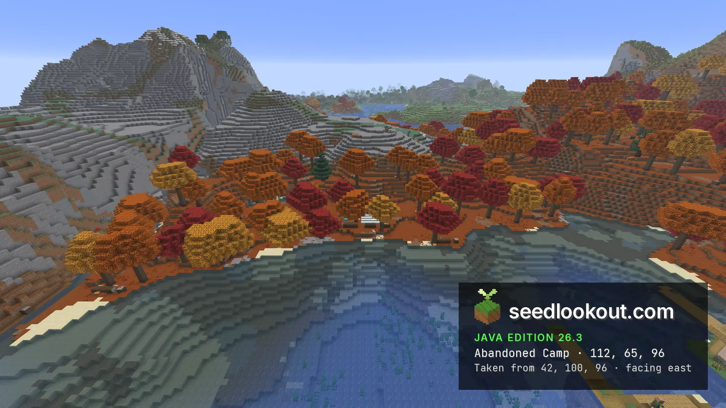
This plains village at 16, 67, 144 spreads over patches of grass in a lake. Wooden paths link the houses across shallow water, while snow and ice reach the western shore. Across the lake, red, orange and yellow dappled trees cover the slope below exposed stone hills. A small white tent sits at the water’s edge at 112, 65, 96, north-east of the village.
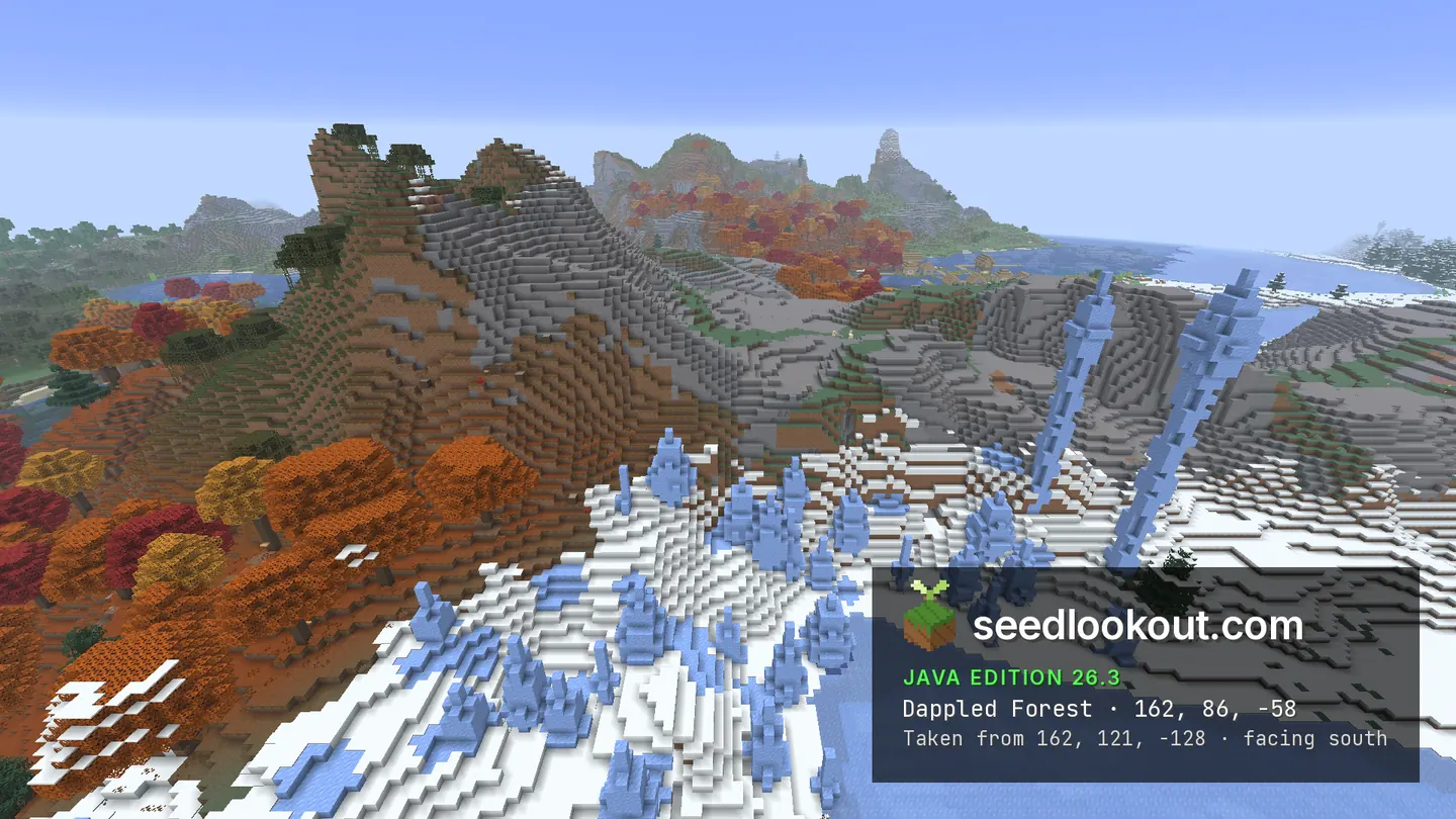
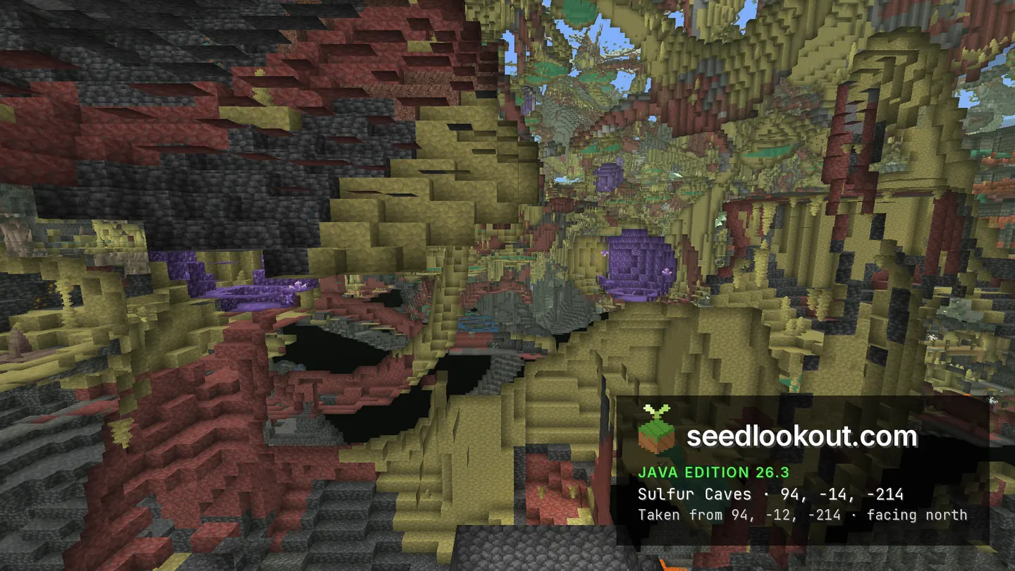
Further north, the checked dappled forest point at 162, 86, -58 lies among the trees near the snowy hills and blue ice spikes. Sulfur caves were also confirmed beneath 94, -214, with the inspection point at y -14. The cave screenshot is a spectator cutaway through solid terrain; it shows the yellow formations and purple crystal pockets, rather than a walkable entrance from the lake.
Coordinates
Each structure and biome was found at or near these coordinates in Java 26.3.
| Location | X | Y | Z | Teleport |
|---|---|---|---|---|
| Dappled forest abandoned campA small white tent on the lake shore, with red and orange trees behind it and the village across the water.Abandoned camp found at these coordinates | 112 | 65 | 96 | |
| Sulfur cavesThe biome was confirmed below this X and Z and inspected at y -14. The gallery shows a spectator cutaway through solid terrain.Sulfur caves biome found at these coordinates | 94 | -14 | -214 | |
| Dappled forestRed, orange and yellow trees below stone hills, with snow and blue ice spikes along the edge of the forest.Dappled forest biome found at these coordinates | 162 | 86 | -58 | |
| Plains villageHouses, farms and wooden paths spread across low grassy patches and shallow lake water. Snow and ice border the west side.Plains village found at these coordinates | 16 | 67 | 144 |
Screenshots
Select a screenshot to open it at full size.
How to get there
- In Java Edition 26.3, choose Create New World, open the World tab and enter seed 21455372195588619.
- Set Game Mode to Creative or turn Allow Cheats on, and press F3 to show your coordinates.
- Run /tp @s 16 102 144 to arrive above the village and see how its paths cross the lake.
- For the tent on the opposite shore, run /tp @s 112 100 96. For the dappled forest near the snowy hills, run /tp @s 162 121 -58.
- To inspect the sulfur caves as shown in the cutaway, first run /gamemode spectator, then /tp @s 94 -14 -214. This point is inside terrain; it is not a safe survival teleport or a confirmed cave entrance.
Questions
Where is the lake village on seed 21455372195588619?
The checked village point is 16, 67, 144 in Java 26.3. Its houses stand on low grassy patches, with wooden paths crossing the shallow water between them.
Where is the abandoned camp?
The dappled forest camp is at 112, 65, 96, north-east of the village. Its white tent sits on the shore below red and orange trees and is visible from across the lake.
Is the sulfur cave screenshot an open cavern?
It is a spectator cutaway through solid terrain, taken near y -14 below 94, -214. The biome was confirmed there, but we did not verify a surface entrance or a walking route from the village.
Does this seed work on Bedrock or other Java versions?
We verified this world only in Java 26.3. Bedrock and other Java versions may generate different terrain and structures from the same seed.
Verified in game
Verified in game in Minecraft Java 26.3 on 2026-09-30. We checked the listed locations and reviewed the in-game screenshots before publication. Verification covers the listed structures and biomes in that version only, not the world spawn, chest loot or other versions. About verified seeds
Spawn and nearest structures
Predicted with the seed map’s Java 26.3 model and not checked in game. Distances are measured from the estimated spawn.
- Estimated spawn
- X 0, Z 0
- Surface height
- About Y 83
- Spawn biome
- Windswept Gravelly Hills
Nearest structures
| Structure | X | Z | From spawn |
|---|---|---|---|
| VillagePlains village | 16 | 144 | 145 blocks |
| Abandoned camp | 112 | 96 | 148 blocks |
| Trial chambers | 256 | 96 | 273 blocks |
| IglooBasement | -304 | -208 | 368 blocks |
| Ruined portal | 352 | 128 | 375 blocks |
| Trail ruins | -288 | 272 | 396 blocks |
| Buried treasure | 249 | 585 | 636 blocks |
| Ocean ruin | 0 | -880 | 880 blocks |
| Shipwreck | 640 | 624 | 894 blocks |
| Pillager outpost | -1024 | 144 | 1,034 blocks |
| Witch hut | 1024 | -256 | 1,056 blocks |
| Ocean monument | 128 | -1248 | 1,255 blocks |
| Woodland mansion | 1840 | -592 | 1,933 blocks |
| Ancient city | -2160 | -704 | 2,272 blocks |
| Jungle temple | 3584 | -944 | 3,706 blocks |
No desert pyramid within 4,096 blocks of spawn.
Nearest strongholds
| Stronghold | X | Z | From spawn |
|---|---|---|---|
| Ring 1 | 1028 | -1036 | 1,459 blocks |
| Ring 1 | 468 | 1700 | 1,763 blocks |
| Ring 1 | -2380 | -684 | 2,476 blocks |
Surface biomes within 1,024 blocks
- Snowy Taiga 21%
- Snowy Plains 18%
- Plains 12%
- Forest 11%
- Taiga 9%
- Swamp 6%
Biome map
The seed map shows this world’s biomes and predicted structures with its Java 26.3 model. Its markers are predictions, like the spawn facts. Only the Coordinates table was checked in game.
Open the Java 26.3 seed mapMore seeds
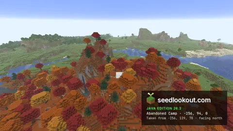
Dappled forest camp above a river and flooded sulfur caves
Abandoned campVillageDappled forestSulfur caves River
River34504716291086797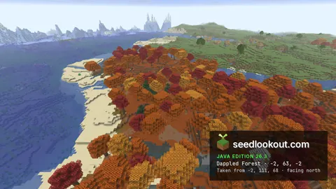
Dappled forest strip on a sandy shore, with a camp, sulfur caves and a plains village
Abandoned campVillageDappled forestSulfur caves PlainsRiver
1800322207065895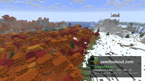
Dappled forest camp in a snowfield, with an igloo and sulfur caves near 0, 0
Abandoned camp IglooDappled forestSnowSulfur caves
6742231963009256