 seedlookout
JAVA 1.20.1 · VERIFIED IN GAME
Taiga village on a wooded strip between curved shores
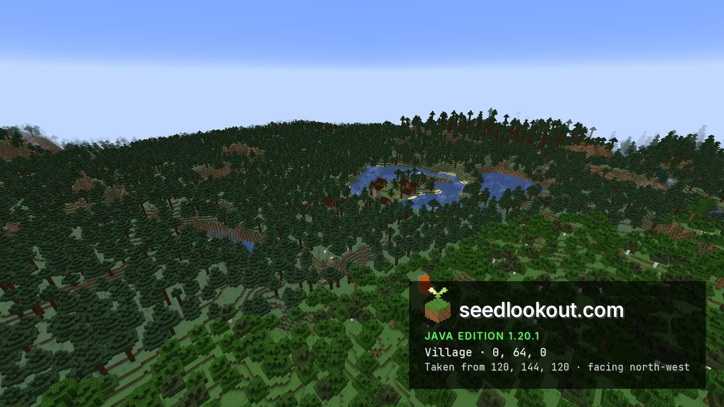
Dark spruce roofs and paths line a wooded strip between curved blue shores, with dense forest filling the surrounding banks.
 Village
 Taiga
Taiga River
River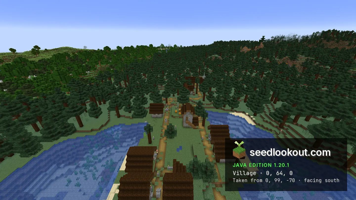
About this world
This taiga village at 0, 64, 0 follows a narrow wooded strip through a rounded body of water. Dark roofs sit among the spruce trees, and yellow paths lead from the shore buildings towards the forest. The north view looks along the village with blue water on both sides, making the thin shape of the land easy to follow.
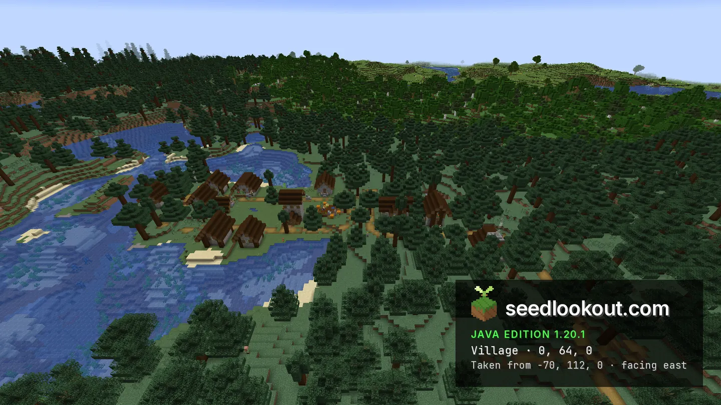
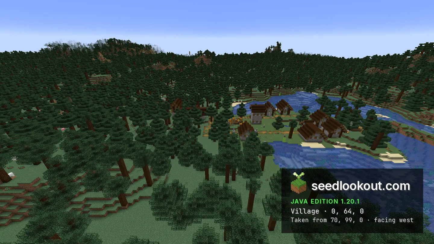
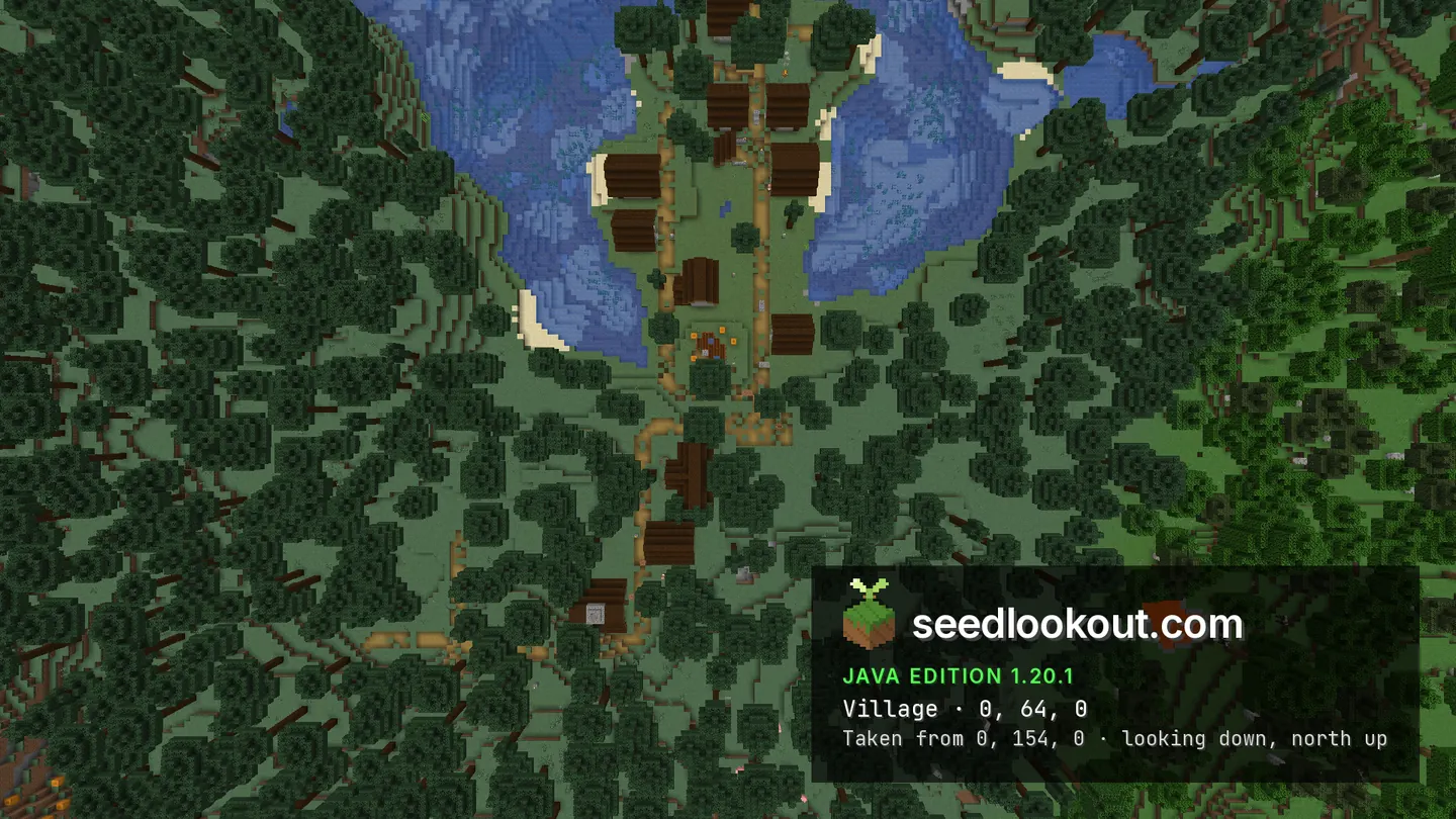
The west and east views follow the curved banks around the settlement, with dark roofs between the water and dense forest. From above, the houses and yellow paths run along the wooded strip, and the wider photograph includes a small surface lava pool among the surrounding trees. The water on both sides makes the village's long shape especially clear.
Coordinates
Each structure was found at or near these coordinates in Java 1.20.1.
| Location | X | Y | Z | Teleport |
|---|---|---|---|---|
| Waterside taiga villageSpruce houses and paths on a wooded strip between curved shores, with dense forest around the banks.Taiga village found at these coordinates | 0 | 64 | 0 |
Screenshots
Select a screenshot to open it at full size.
How to get there
- In Java Edition 1.20.1, choose Create New World, open the World tab and enter seed 254809.
- Set Game Mode to Creative or turn Allow Cheats on, and press F3 to show your coordinates.
- Run /tp @s 0 110 0 to view the village and curved shores from above. The checked point is at y 64.
- Fly north of the village and look south along the wooded strip to see water beside both rows of buildings.
- Move above the canopy for the full path layout; from low angles the spruce trees hide some houses.
Questions
Where is the taiga village?
Its checked point is 0, 64, 0 in Java 1.20.1. Spruce houses follow the narrow wooded land between curved shores.
Can I see water on both sides of the village?
Yes. The north and overhead views show blue water along both sides of the wooded strip, with forest around the banks.
Which view shows the curved shores best?
The north view looks along the village with water on both sides. The overhead image shows the wooded strip, houses and paths within the surrounding curves of the banks.
Which Minecraft version was checked?
The world and screenshots were checked in Java 1.20.1. We have not verified the same terrain and structures in Bedrock or other Java versions.
Verified in game
Verified in game in Minecraft Java 1.20.1 on 2026-10-02. We checked the listed locations and reviewed the in-game screenshots before publication. Verification covers the listed structures in that version only, not the world spawn, chest loot or other versions. About verified seeds
Spawn and nearest structures
Predicted with the seed map’s Java 1.20.6 model and not checked in game. Distances are measured from the estimated spawn.
- Estimated spawn
- X -32, Z 32
- Surface height
- About Y 67
- Spawn biome
- Taiga
Nearest structures
| Structure | X | Z | From spawn |
|---|---|---|---|
| VillageTaiga village | 0 | 0 | 45 blocks |
| Trail ruins | -144 | 160 | 170 blocks |
| Ruined portal | -272 | 112 | 253 blocks |
| Buried treasure | 489 | 297 | 585 blocks |
| Ocean ruin | 704 | 96 | 739 blocks |
| Ancient city | -672 | 528 | 810 blocks |
| Pillager outpost | -208 | -768 | 819 blocks |
| Shipwreck | 512 | 688 | 852 blocks |
| IglooBasement | -784 | 864 | 1,121 blocks |
| Ocean monument | 176 | 1376 | 1,360 blocks |
| Witch hut | -1168 | -976 | 1,519 blocks |
| Jungle temple | 1696 | 864 | 1,918 blocks |
| Desert pyramid | 2912 | -288 | 2,961 blocks |
No woodland mansion within 4,096 blocks of spawn.
Nearest strongholds
| Stronghold | X | Z | From spawn |
|---|---|---|---|
| Ring 1 | 1108 | -1468 | 1,884 blocks |
| Ring 1 | 1220 | 2276 | 2,570 blocks |
| Ring 1 | -2668 | -252 | 2,651 blocks |
Surface biomes within 1,024 blocks
- Forest 21%
- Taiga 20%
- Plains 16%
- River 9%
- Ocean 6%
- Old Growth Pine Taiga 5%
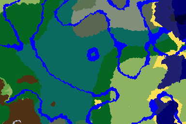
Biome map
More seeds
 Ruined portal
Woodland mansion and village in a mountain ring
Village Mansion
 Ancient cityTaiga
 Mountains
5811050894855099212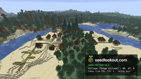
Taiga village on sand between water channels, over lush caves
Village Trial chambers
 Abandoned campTaiga
 CavesRiver
2865822087765634